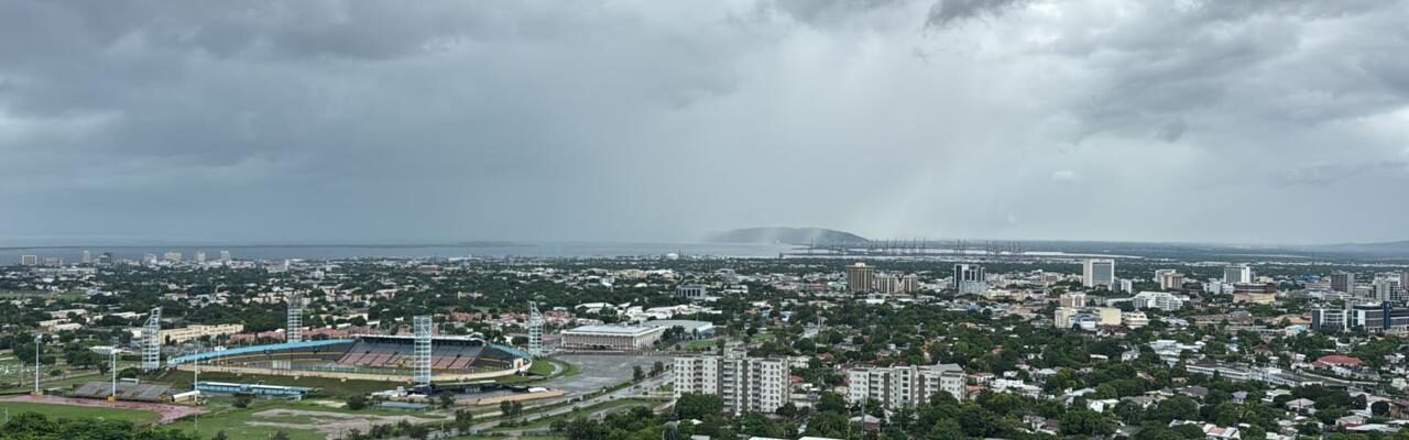
All preparations should now be completed, Met director urges as Hurricane Melissa inches closer to Jamaica
Ainsworth Morris / Our Today
author
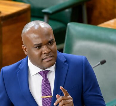
With just under 24 hours left before Hurricane Melissa is expected to impact the island, Evan Thompson, principal director of the Meteorological Service of Jamaica, warns that all preparations should now be completed.
“We really should just be in a safe [and] secured place waiting for this system to move over us and pass over us,” Thompson said during a press conference hosted by the Government on Sunday afternoon (October 26) at the Offices of Disaster Preparedness and Emergency Management (ODPEM) in St. Andrew.
He said there was a slight shift in the track, based on the last bulletin and last press conference, to the west of the island.
“We are hoping that we will see more shifts that will eventually take it off the country, but right now, the forecast is that we will be directly impacted by the eye, a landfall between Monday night and Tuesday morning, and it will move across us, right through the day on Tuesday,” he said.
As at 2:00 pm Eastern Daylight Time (EDT), the centre of Hurricane Melissa was located near latitude 16.4 North, longitude 76.9 West—or roughly 180 kilometres southwest of Kingston.
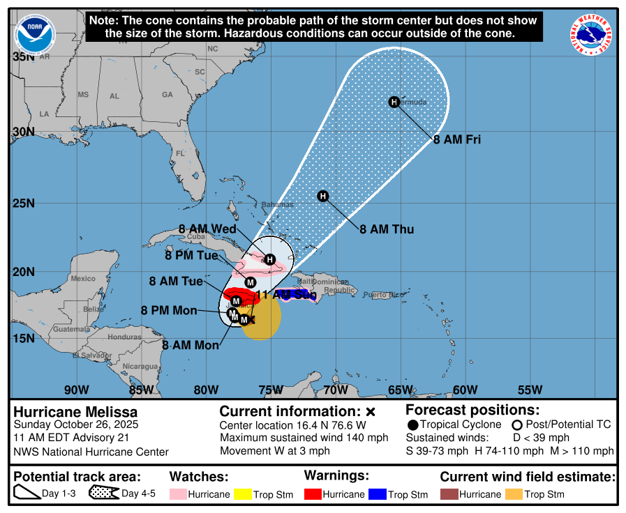
A powerful category four system, Hurricane Melissa, the 11th named storm of the 2025 season, is currently packing maximum sustained winds at 220 kilometres/hour, with higher gusts. She continues to churn west at seven kilometres/hour.
The hurricane warning activated for the entire island remains in effect ahead of a projected Monday night-Tuesday morning landfall.
Hurricane-force winds extend outward up to 35 kilometres from its centre, while tropical-storm-force winds extend outward up to 280 kilometres.


Comments