
Jamaica cops prestigious Esri President’s Award for Leadership in GIS innovation

/ Our Today
administrator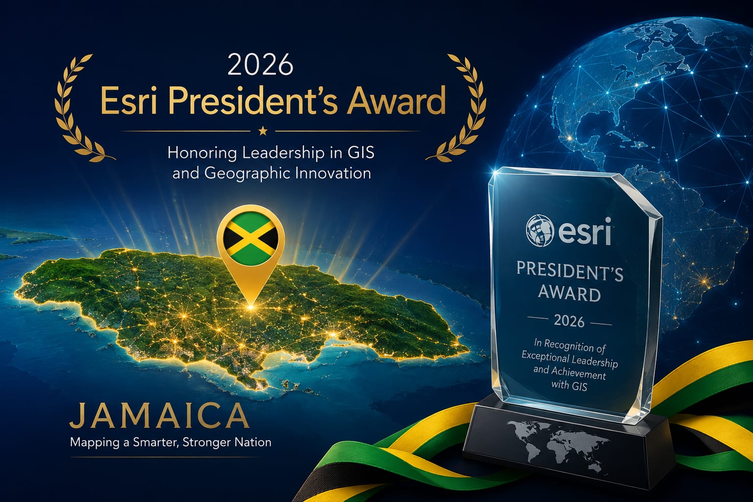
Jamaica has copped the 2026 Esri President’s Award on behalf of the Government of Jamaica, recognising the country’s leadership in using Geographic Information Systems (GIS) to improve public planning, disaster preparedness and evidence-based decision-making.
The award has been collected by Prime Minister Andrew Holness, who is in San Diego, California, attending the 2026 Esri User Conference from July 11-14, where Jamaica will be honoured for its development of an integrated national geospatial infrastructure and its use of GIS technology to support data-driven governance.
Esri is the world’s leading developer of GIS software and location intelligence technology. Its mapping and spatial analytics platforms are used by governments, businesses and organisations around the world to guide infrastructure development, emergency response, land management and policymaking.
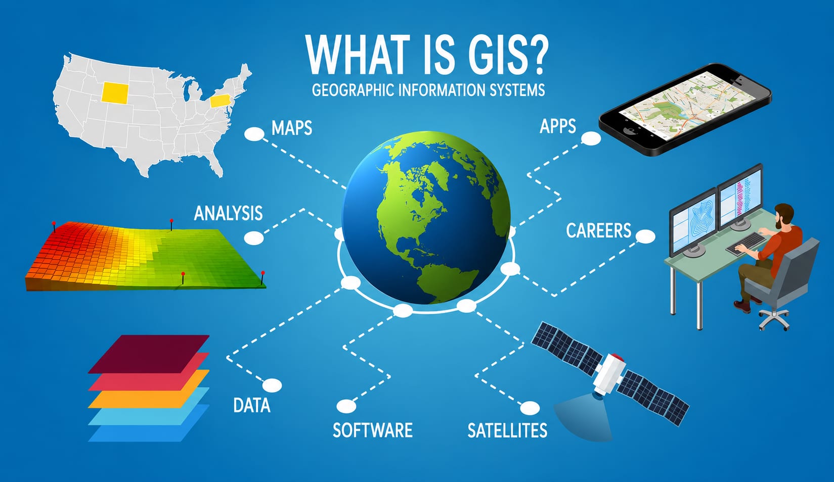
The award highlights Jamaica’s growing use of digital mapping and geospatial data across multiple sectors, helping government agencies better understand and manage everything from road networks and water infrastructure to land use and disaster response.
GIS technology enables planners to analyse real-world geographic data rather than relying on estimates, allowing for more informed decisions on where to build infrastructure, identify vulnerable communities and coordinate emergency services during hurricanes and other natural disasters.
The recognition also reflects Jamaica’s investment in building an integrated geospatial system that supports collaboration across government ministries and agencies, creating a more coordinated approach to national development.





Comments