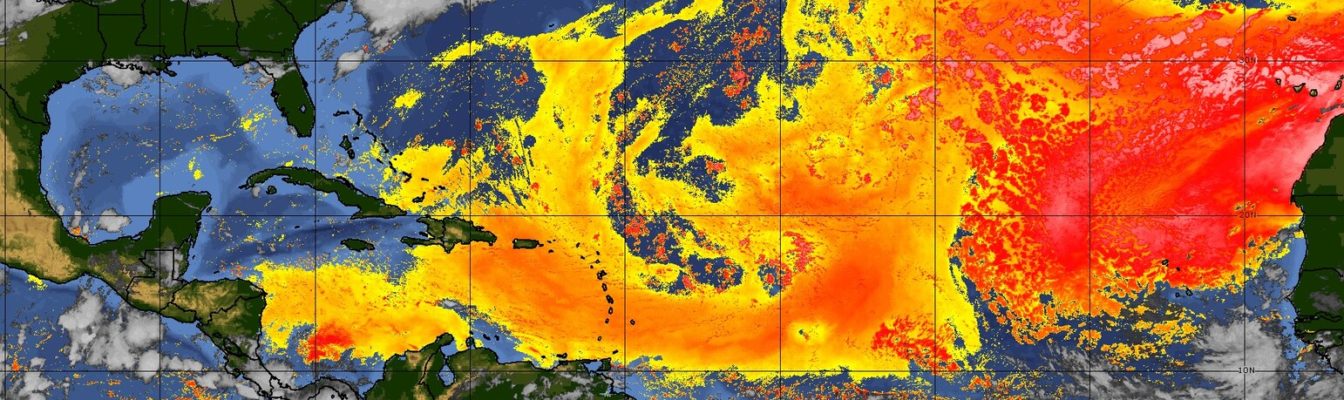
Saharan dust back in Caribbean skies this week

Gavin Riley / Our Today
administrator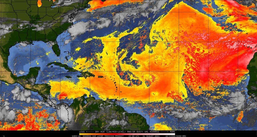
Jamaican skies could soon be under the influence of Saharan dust this week, as another plume continues to creep across much of the Caribbean on Sunday (August 1).
According to satellite imagery tracking the Saharan Air Layer (SAL), the dust cloud stretches from Barbados in the far east to large swathes of the Bahamas in the west.
The fringes of the dust plume now hover just south of Jamaica, Haiti and Cuba.
The St Lucia Meteorological Service, in its forecast, advised residents to expect fair to partly cloudy and hazy conditions on Sunday, making way for scattered afternoon showers in some areas.
Officials in neighbouring Trinidad and Tobago warned of generally hazy skies, with a low to medium chance of thunderstorm activity in the twin-island republic’s southern and western sections.
For its part, the HydroMeteorological Unit of Haiti (HMU) indicated that paired with the high-pressure ridge, weather conditions will be mostly dry and stable over the French-speaking country. Temperatures may hit a high of 36 degree Celcius in Haiti, the agency added.
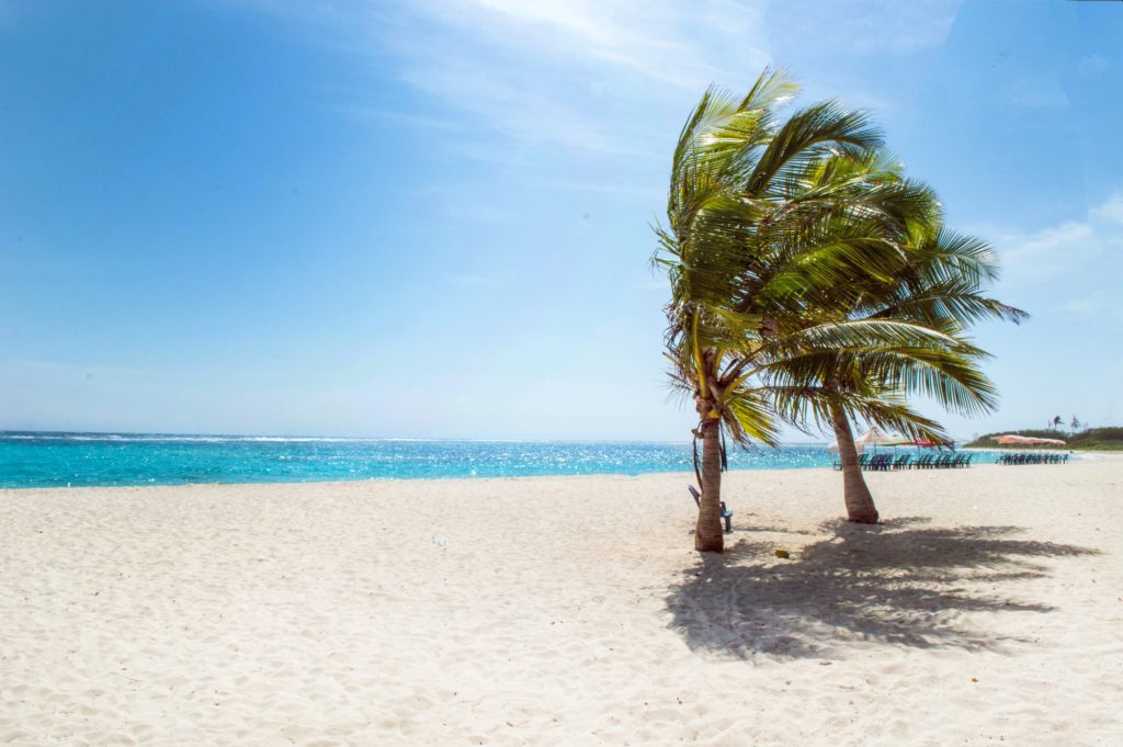
“Sunny and windy weather, accompanied by spontaneous gusts, is expected over the country today,” the HMU said in its outlook.
Closer to home, the Jamaica Meteorological Service said a localised trough would remain the significant feature dominating weather conditions for the next few days.
The Met Office, in its 5:00 am advisory, added that isolated afternoon showers and thunderstorms are likely in hilly inland areas and western parishes, while it should be partly cloudy elsewhere.
Jamaica’s southern coast continues to be buffeted by strong winds.
The maximum temperature expected for cities Kingston and Montego Bay on Emancipation Day is 33 degrees Celcius.
Breakdown of towns and cities forecast:
| Towns and Cities | Forecast |
| Morant Bay | Morning showers/Partly cloudy afternoon/Windy |
| Kingston | Partly cloudy afternoon/Windy |
| Half-Way-Tree | Partly cloudy afternoon/Windy |
| Portmore | Partly cloudy afternoon/Windy |
| Spanish Town | Mostly cloudy afternoon/Windy |
| May Pen | Mostly cloudy afternoon/Windy |
| Mandeville | Afternoon thunderstorms/Windy |
| Santa Cruz | Afternoon thunderstorms/Windy |
| Black River | Afternoon thunderstorms/Windy |
| Savanna-La-Mar | Afternoon thunderstorms/Windy |
| Negril | Afternoon thunderstorms |
| Port Antonio | Morning showers/Partly cloudy afternoon/Windy |
| Port Maria | Morning showers/Partly cloudy afternoon/Windy |
| Ocho Rios | Afternoon showers |
| St Ann’s Bay | Afternoon showers |
| Browns Town | Afternoon thunderstorms |
| Falmouth | Afternoon thunderstorms |
| Montego Bay | Afternoon thunderstorms |
| Lucea | Afternoon thunderstorms |
The Jamaica Met Service is reminding fisherfolk and marine interests that a small craft warning remains in effect for inshore and offshore areas of the south coast due to strong winds and rough seas.
See more in the Jamaica Met Service’s three-day outlook:
Monday/Tuesday: Partly cloudy morning. Isolated afternoon showers across western parishes and hilly inland areas. Windy especially across southern parishes.
Wednesday: Isolated morning showers across eastern parishes, elsewhere partly cloudy. Isolated afternoon showers and thunderstorms across sections of central and western parishes.






Comments