
GIS is critical national infrastructure – Prime Minister Holness

/ Our Today
administrator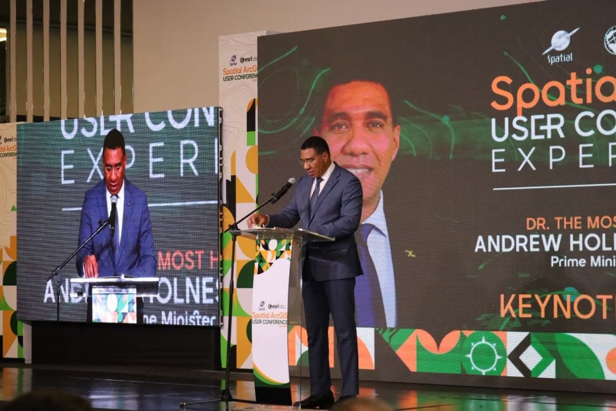
Prime Minister Dr. the Most Hon. Andrew Holness has declared Geographic Information Systems (GIS) critical national infrastructure, pointing to their growing importance in saving lives, strengthening national security and guiding Jamaica’s development.
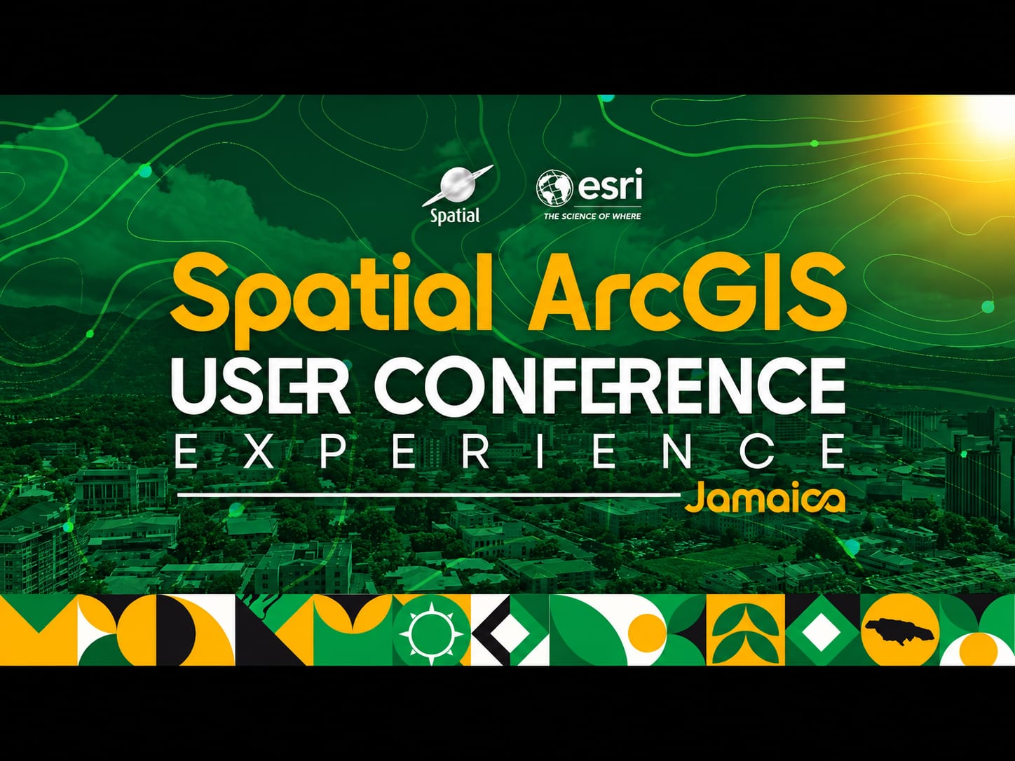
Addressing the opening of the two-day Spatial ArcGIS User Conference at the AC Marriott Hotel yesterday (September 29, 2026), the Prime Minister said Jamaica’s investment in geospatial data proved invaluable in the aftermath of Hurricane Melissa, helping the Government to assess the extent of the damage, coordinate relief efforts and target assistance to affected communities.
“When the storm came, it was the investment in the data gathering, data storing and data analysis of our geography that made us make sense of everything else,” he said, underscoring the importance of data as an often unseen but essential component of national infrastructure.
The Prime Minister noted that GIS has strengthened coordination among emergency responders and international partners, supported crime management and informed public-sector decisions across several areas, including health, agriculture and infrastructure.
He pointed to the technology’s application in the Pedro Plains Irrigation Project in southern St. Elizabeth, where GIS and cadastral mapping are helping the National Irrigation Commission identify land parcels, assess how farmers currently water their farms and determine irrigation demand.
With support from local GIS partners, the data will guide implementation and help ensure that farmers receive the right amount of water to meet their needs, benefiting more than 6,000 farming families.
The Prime Minister also underscored the importance of geospatial intelligence in Jamaica’s reconstruction and resilience-building efforts, noting that GIS will be central to the work of the National Reconstruction and Resilience Authority (NARRA) and the distribution of assistance to households whose homes were damaged by Hurricane Melissa.

“Getting the right help to the right people in the right place is also at the heart of our reconstruction efforts,” he said, adding that the technology will support smarter, more resilient rebuilding and help ensure that assistance reaches those who need it.
He emphasised the importance of geospatial intelligence in identifying risks associated with unsafe settlements.
“We now have intelligence, meaning we now have information that can help to change our outlook, our behaviour and our perspective so that we don’t become victims of our geography,” he said, urging GIS professionals to speak publicly about the dangers of improper and irregular settlement.
The Prime Minister also announced the launch of the Mapmakers Initiative pilot in Jamaica, a global collaboration between the Environmental Systems Research Institute (ESRI) and the National Geographic Society, to modernise geography education in schools and universities.
Led regionally by Spatial Innovation Limited and delivered locally through the Government’s GIS in Schools Education Programme (GISSEP), the pilot is being implemented by the National Spatial Data Management Branch (NSDMB) in eight high schools, equipping geography teachers with the tools to deliver 21st-century instruction.
The conference continued today (September 30, 2026), with the launch ceremony for the Mapmakers Jamaica Pilot Programme, followed by a Mapmakers Teacher Training Workshop, to support the programme’s introduction in Jamaican schools.


Comments